Educational Maps for Classrooms & Geography Learning
PRACTICE MAPS : Our World Labeled Practice Map Notepad comes with 30 sheets per pack, measuring 9" x 16" each. This multi-use notepad is an excellent learning tool. It is great for drill & practice, learning games, and quick quizzes. Laminate and make placemats or big books!
CREATIVE MAPS : These maps can be used for classroom and home learning, as well as in creative projects. They are great for learning games, bulletin board decorations and scrapbooking projects. Project Examples: Map and Geography practice and learning games, Where in the World Bulletin Boards, Map Vacation or Summer Road Trips, and more.
WONDERFUL TEACHING TOOL : Great for helping students learn their states or countries of the world. Great for Social Studies and Geography activities, drill and practice, mapping current events, learning games, quick quizzes, creating place mats, big books and more. Laminate the maps for fun write and wipe activities.
TIME SAVER : Filled in or blank maps save time and preparation in the classroom or at home. Laminate for maps that can be used again and again, year after year.
HIGH QUALITY : Practice Maps are made with high quality paper; paper is acid free and PH neutral.
MADE IN USA : Practice Maps come with 30 sheets in a package, measure approximately 8” x 16” and are made in the USA.
-
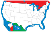

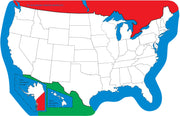
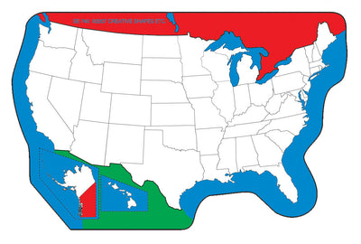
SHAPES ETC. Unlabeled U.S.- Practice Maps
$10.39 -


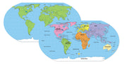
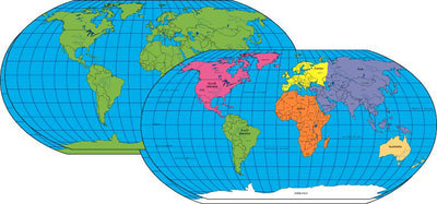
SHAPES ETC. Labeled World- Practice Maps
$10.39 -
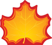
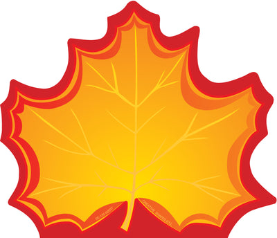
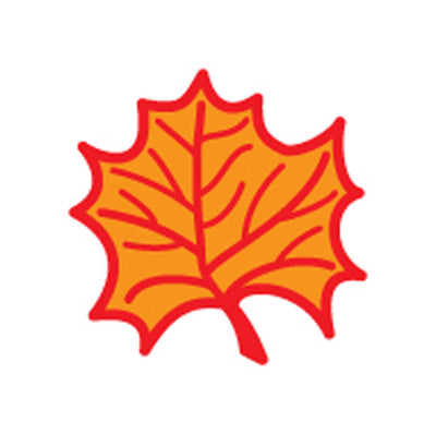
SHAPES ETC. Large Notepad - Maple Leaf
$6.17 -

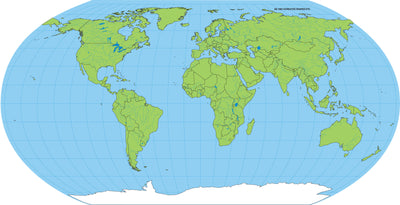
SHAPES ETC. Unlabeled World- Practice Map
$10.39 -

SHAPES ETC. Mini Notepad - Maple Leaf
$4.85 -

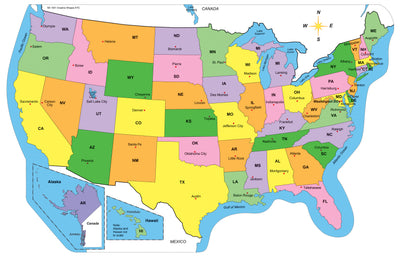
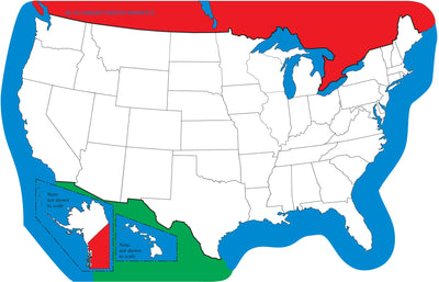
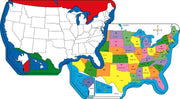
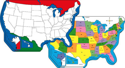
SHAPES ETC. Labeled U.S. -Practice Maps
$10.39 -
SHAPES ETC. Large Notepad - U.S. Map
$6.17 -

SHAPES ETC. Mini Notepad - U.S. Map
$4.85 -

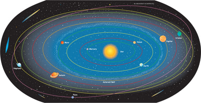
Solar System Labeled- Practice Map
$10.39 -

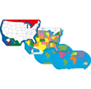
SHAPES ETC. World Practice Map Combo Pack- 8” x 16”
$19.99 -

SHAPES ETC. Large Single Color Cut-Out - Maple Leaf
$5.99 -
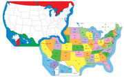
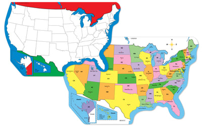
SHAPES ETC. U.S. Practice Map Combo Pack- 9” x 19”
$19.99 -
SHAPES ETC. U.S. Practice Map Double Combo Pack- 9” x 19”
$35.99 -

SHAPES ETC. Classroom Practice Map - World & US Map Pack
$40.99 -

SHAPES ETC. Single Color Leaf Cut-Out - Maple
$4.69 -

SHAPES ETC. Incentive Stamp - Maple Leaf
$5.15 -

SHAPES ETC. World Practice Map Double Combo Pack- 8” x 16”
$35.99 -
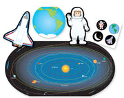

SHAPES ETC. Large Activity Set - Space
$17.99$15.99 SALE


FAQs
Everything you need to know about us
You can find high-quality, labeled and unlabeled US maps for kids at Creative Shapes ETC. Our collection
features kid-friendly United States maps in both formats, making them perfect for geography practice, school
projects, and homeschool lessons.
These physical maps are easy to use in learning environments—labeled versions help teach states, capitals, and
major cities, while unlabeled maps work well for quizzes and hands-on practice. Designed with clear lines and
bright colors, they’re ideal for children ages 5–12.
Explore our full educational maps collection to find US and world maps suitable for classroom and home
learning.
Explore our full educational maps collection to find US and world maps suitable for classroom and home learning.
You can find well-designed US maps for kids at Creative Shapes ETC, including both labeled and unlabeled options. Labeled maps help children learn state names and locations, while unlabeled maps are great for practice and quizzes. These maps are suitable for classroom learning, homeschooling, and school projects.
Creative Shapes ETC provides US map worksheets designed to support learning in classrooms and study environments. These maps help students practice skills like identifying states, understanding regions, and learning map-based concepts. Teachers can include them in lessons and activities, while students can use them for practice and revision in a structured, easy-to-follow format.
Creative Shapes ETC offers a wide range of affordable classroom maps for teachers. From US maps to world maps, our worksheets and classroom-friendly maps make geography lessons interactive, engaging, and budget-friendly.
Creative Shapes ETC offers a wide selection of blank US maps that are ideal for geography practice and
quizzes. These maps help students build a strong understanding of states, capitals, and major regions while
keeping learning engaging and hands-on.
Teachers can use these physical maps for classroom activities, assessments, and lessons, while parents can use
them to support learning at home. With clear layouts and student-friendly designs, Creative Shapes ETC’s blank
US maps make geography lessons more effective and easier to follow.
Creative Shapes ETC offers a variety of educational maps for kids in the US, including US maps and world maps
designed to support geography learning. These maps help children understand states, capitals, and regions in a
clear and engaging way.
Ideal for classroom lessons and home learning, Creative Shapes ETC provides high-quality maps that make
geography easier to teach and more enjoyable for students.


